 Return
randonnee
Col de Bostan (unmarked snowshoe route)
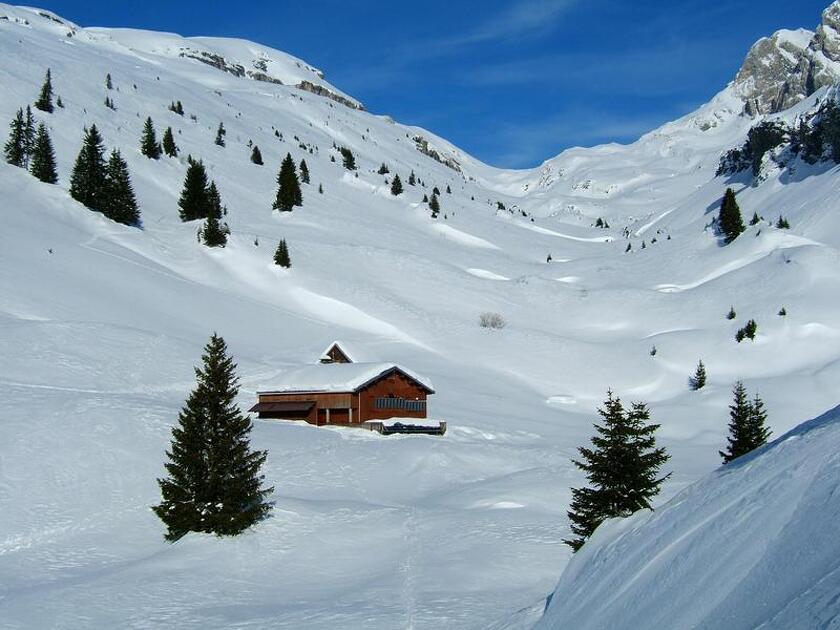
This circuit is a classic of the valley, traveled indifferently from the refuge of La Golèse or Bostan. The Bostan pass marks the border with Switzerland.
Itinéraire
-
Distance 13.45km
-
Type d'itinéraire Aller/retour
-
Dénivelé positif 1359m
-
Dénivelé négatif 1359m
-
Durée 06h00
-
Itinéraire balisé Yes
-
Nature du terrain Non-groomed itinerary
-
Altitude maximum 2398m
Opening period
From 22/12 to 15/04.
Location
From Samoëns, take the road on the right towards "Les Allamands". The car park is 800 m beyond the village (the road is usually cleared as far as the car park Le Plan des Arches.).
